From Roman to Christian city: What happens to urban design when different principles meet
When I arrived in Aachen last July, I noticed there was something strange and unexpected in the central city. Aachen is a Roman city, and I could even see the remains of an aqueduct… But where is the grid?
After a few months in the city, a colleague who works with architecture and urban history and heritage took me for a walk in the historical centre – pretty much the whole city! Listening to her a lot started to make sense, and turned into a fascinating-private-urban-history-class. Lucky me!
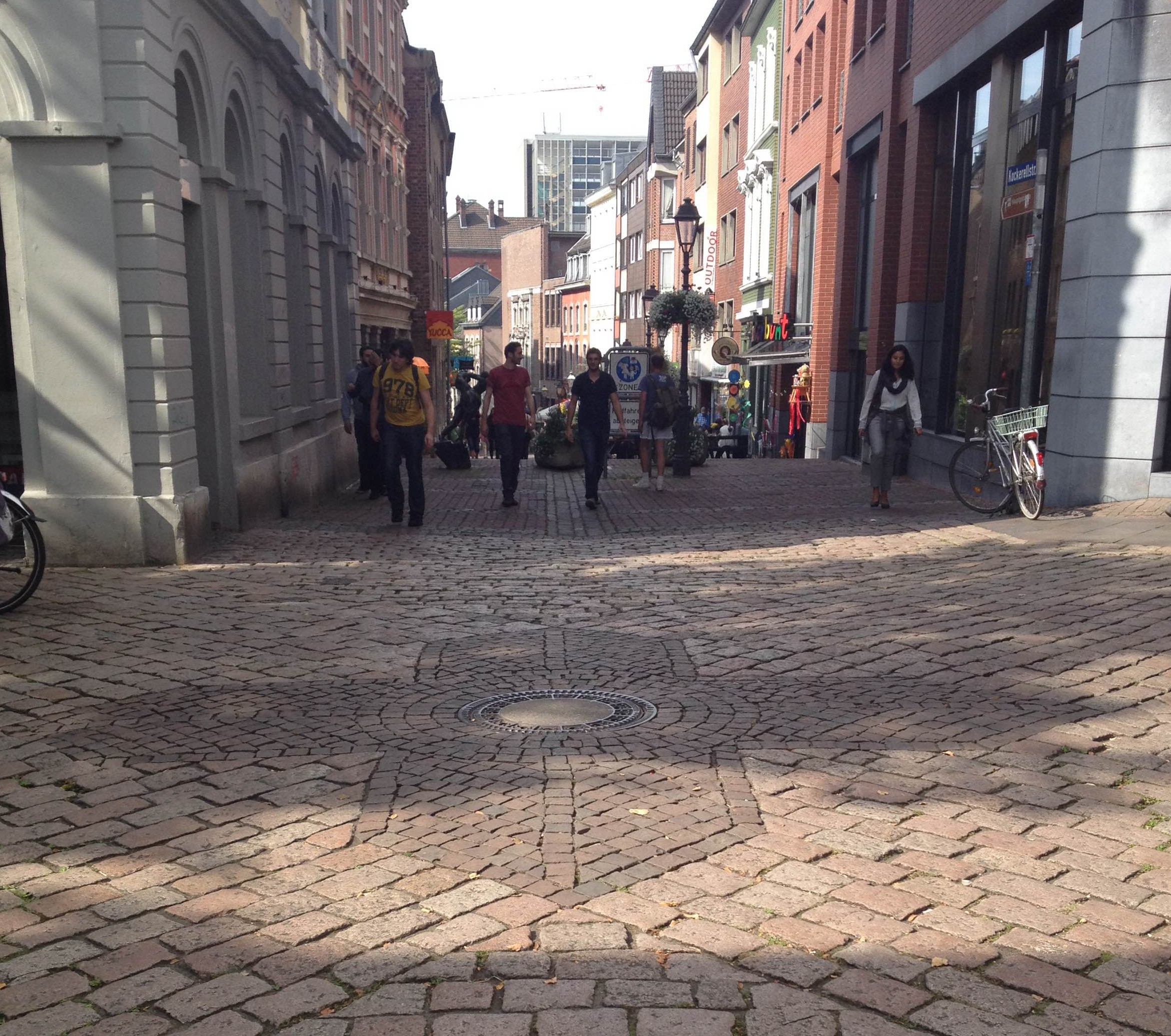
Back to Roman cities then. Roman cities were based upon a grid plan generated from a starting point where two main axes meet: the Cardo Maximus (north-south) and the Decumanus Maximus (east-west). All other streets are parallel to one of these main axes. In Aachen, as in many other cities, the position of the original grid is not an exact north-south/east-west, as it also responds to the topography (see the map).
The history of Roman Aachen starts around the birth of Christ (1), but in the Middle Ages it became a Christian city and the Aachener Dom, a Christian Cathedral, was built. Christian Cathedrals were at that time – and in some places still are – always built with its nave oriented east-west. Their main entrances are located in the west and the altar in the east. There are many explanations for this, among them two more widely believed. First, this can be connected to the Christian practice of turning to the east – location of Jerusalem – when praying, so when we walk into the churches, we also walk towards the east (2). And second, a more superstitious and mystic reason: the sun is frequently connected to divinity and as it rises in the east, when we enter a church we walk towards the altar, and symbolically, towards the sun and divinity. In addition, the morning light from behind the altar provides a ‘pure light’ inside the church through its stained glass.
First the Roman grid and then the initially informal paths in and out from the Aachener Dom, which later turned into formal streets, created a new urban pattern. Finally, this combination (see also this combination on the map) generated the pattern we have nowadays, a pattern that makes Aachen the ‘city of triangular spaces’, resulting from these two overlapping ‘grids’. Some of the main areas of the city are triangles, such as the Markt and the Hof, and others managed to keep a bit more of space and are trapeziums, such as the Elisengarten.
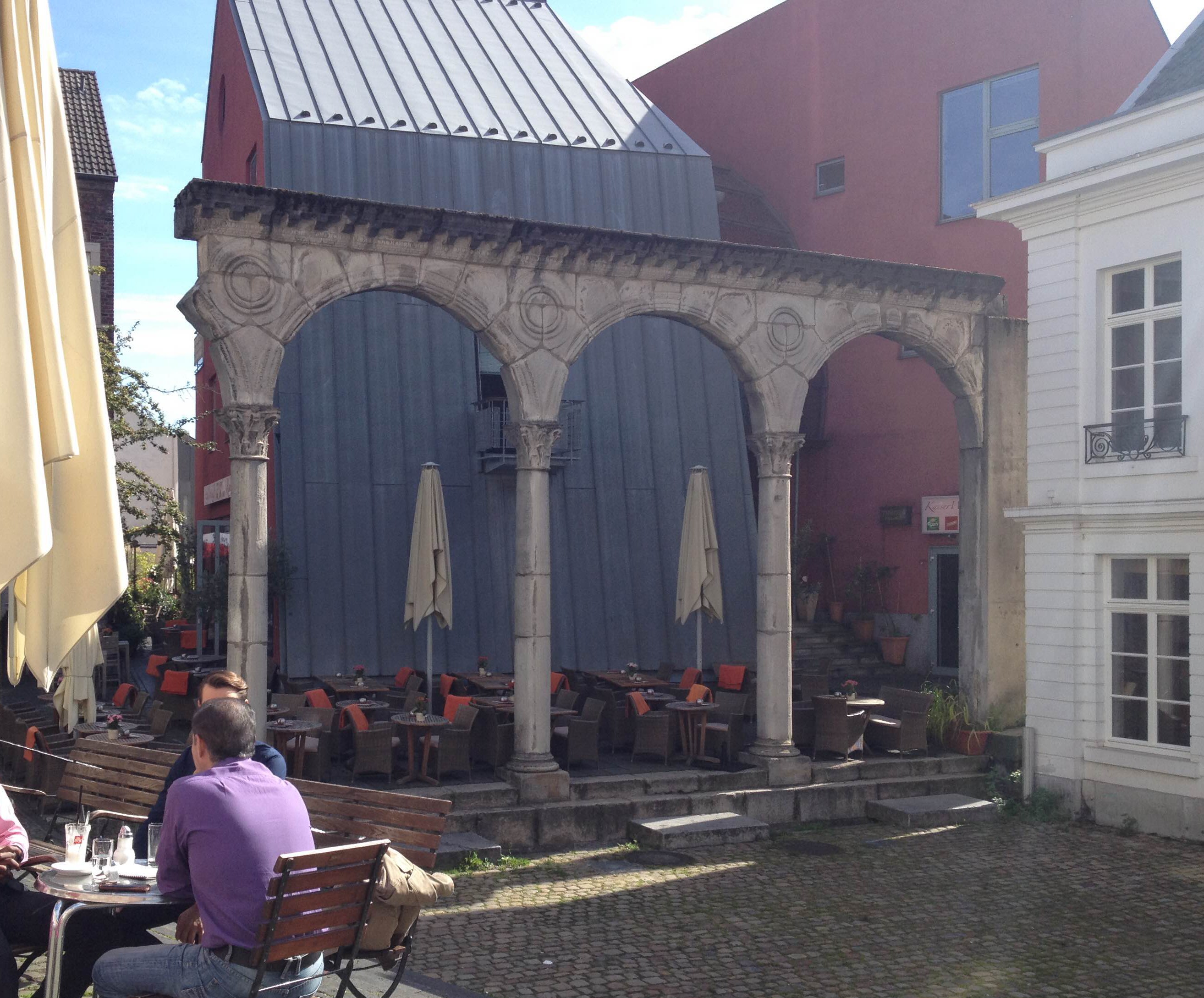
Besides this, in every corner of Aachen there are ruins of medieval walls and gates, from the Carolingian Empire era, traces of kings, and more recent history. Mies Van der Rohe was from Aachen, and Anne Frank lived here after all.
At some stage along our walk I expressed a glimpse of disappointment… How much I had already missed, how much I had looked and not seen in those early days. At that point I made my point, they should make this rich history clearer. To what my colleague replied:
If they write everything, the city would turn into a newspaper. This is an amazing place, these walls and paving breath and tell history and stories, they have been here for 1200 years, but you can only see what you know.
Indeed! How not to love this place? Thanks Aachen, and many many thanks to my colleague!
External references:
(1) Die ersten Römer
